Author: Jason

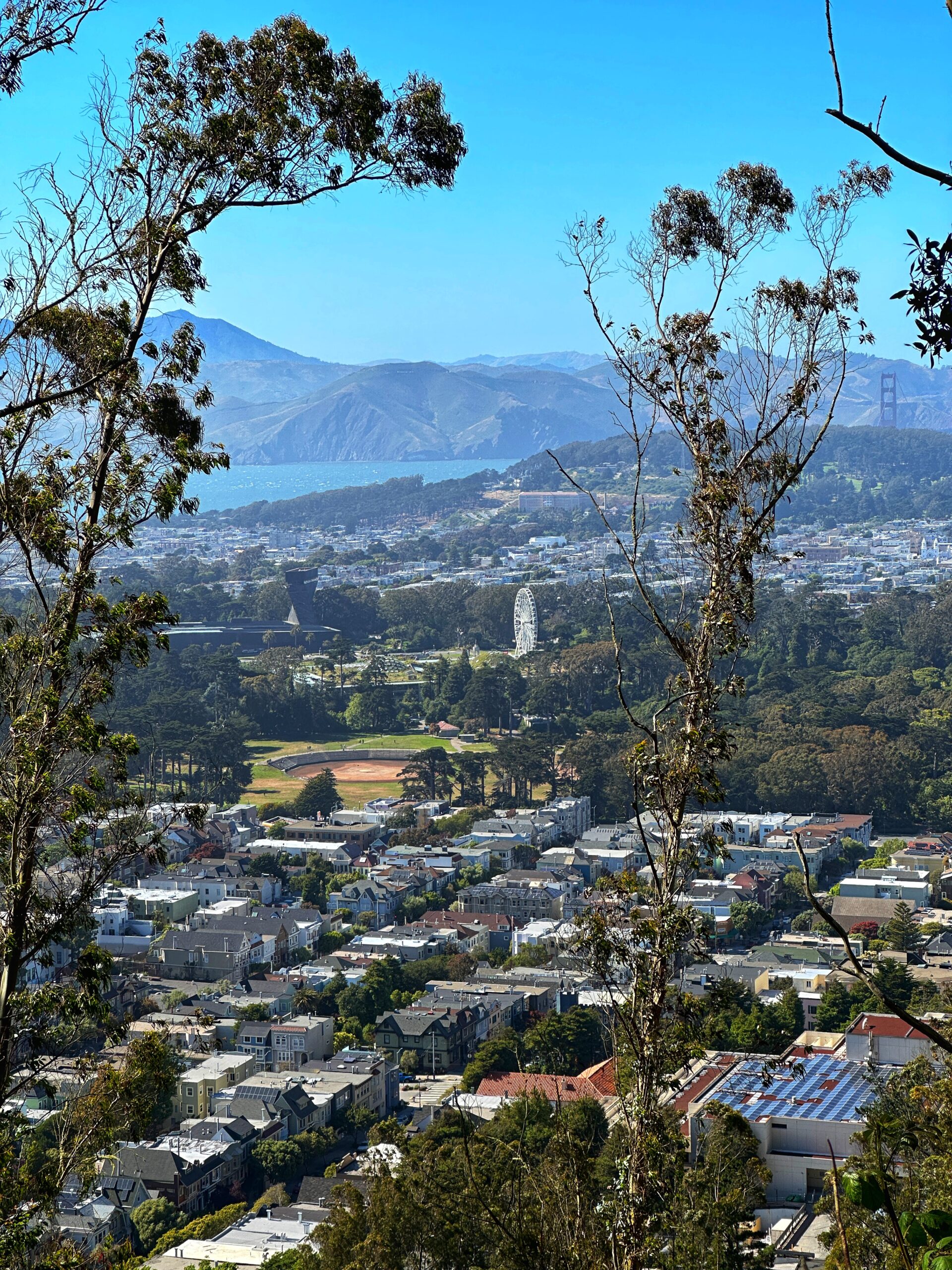
Stern Grove to Presidio

The forests of the city Distance: 6.6 Miles Elevation Gain/Loss 920/875 This section has a good mix of urban and forest hiking and for a short time you get so immersed in the forest you can forget you are still in the city. From Stern Grove heading north, the beginning is very typical walk through…Read more

Day 5 – Portree to Inverness

Todays route is under 3 hours of driving, crosses Scotland from west to east, includes some iconic stops and terminates in Inverness. Map The rain hit us again this morning as we started our way south on the A87 toward Skye Bridge. Low clouds accompanied the rain which limited our view as we exited the…Read more

Sanborn Park: John Nicholas Trail

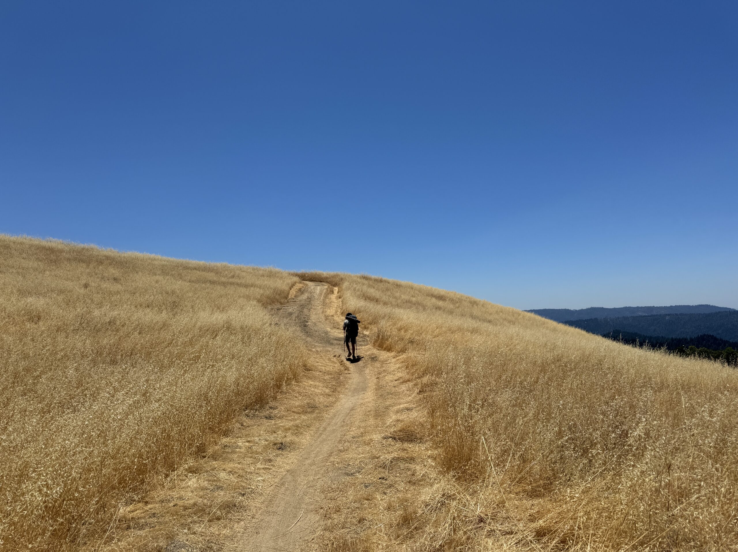
Final section of a 3 day hike Distance: 3.5 miles Elevation Gain/Loss: 190/1160 We combined this section with 3 others to create a 3 day backpacking trip beginning in Skyline Ridge and Russian Ridge Open Space Preserves. You can start there for the full story. These were the final few miles of a hike that…Read more

Sanborn Park and Castle Rock Park

3 Days Backpacking the Ridge Trail, End of Day 2 and Beginning of Day 3 Distance: 5.8 Miles Elevation Gain/Loss 850/560 This is the 3rd section out of 4 traversed in a 3 day hike along the ridge trail which started at Skyline Ridge and Russian Ridge Open Space Preserves. We had hiked nearly a…Read more

Saratoga Gap and Skyline Ridge

First part of day 2, on a 3 day hike. Distance: 8.1 Miles Elevation Gain/Loss 1280/665 We completed this section as part of a 3 day hike beginning in Russian Ridge. You can find details on that section here: Skyline Ridge and Russian Ridge Open Space Preserves. Elevation Gain/Loss above reflects the southbound direction of…Read more

Purisima Creek Redwoods Open Space Preserve

A great beginning, 5.8 miles completed, 403.9 miles to go Distance: 5.8 Miles Elevation Gain/Loss 1,215 feet/1,290 feet Having 403 miles remaining of a 400 mile hike is hardly a cause for celebration. But getting started is a worthy event, and picking a starting point from so many choices took some time. After pouring over the…Read more

San Francisco Peninsula Watershed: Fifield-Cahill Trail

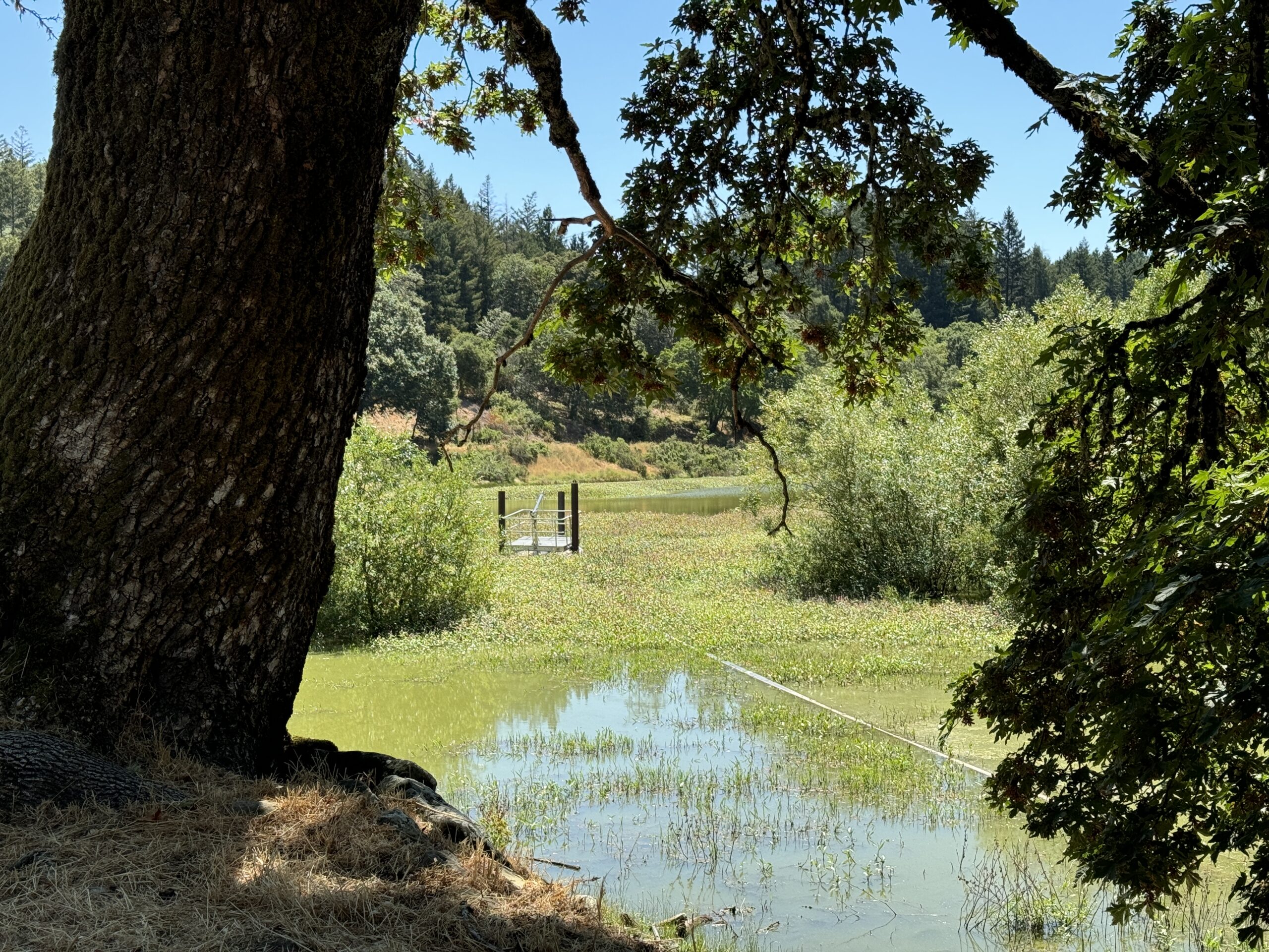
A Docent Lead Hike Distance: 12.8 Miles  Elevation Gain/Loss 1,725 feet/1,490 feet Much of the ridge trail in the southern end of the peninsula passes through a dense forest of coast redwoods. Conversely, in the north, the Sweeney Hill section leading into Pacifica is dominated by coastal sagebrush and similar dense, low vegetation. The Fifield-Cahill trail sits…Read more

Sweeney Ridge

Hiking Through the Fog Distance: 3.2 Miles (7.1 miles total for the day) Elevation Gain/Loss: 785 feet/300 feet Sweeney Ridge Trail Map The official map of this section combines it with the segment just north, Skyline College to Pacifica. We decided to also combine them into a single hike. For this post I’ll just focus on…Read more