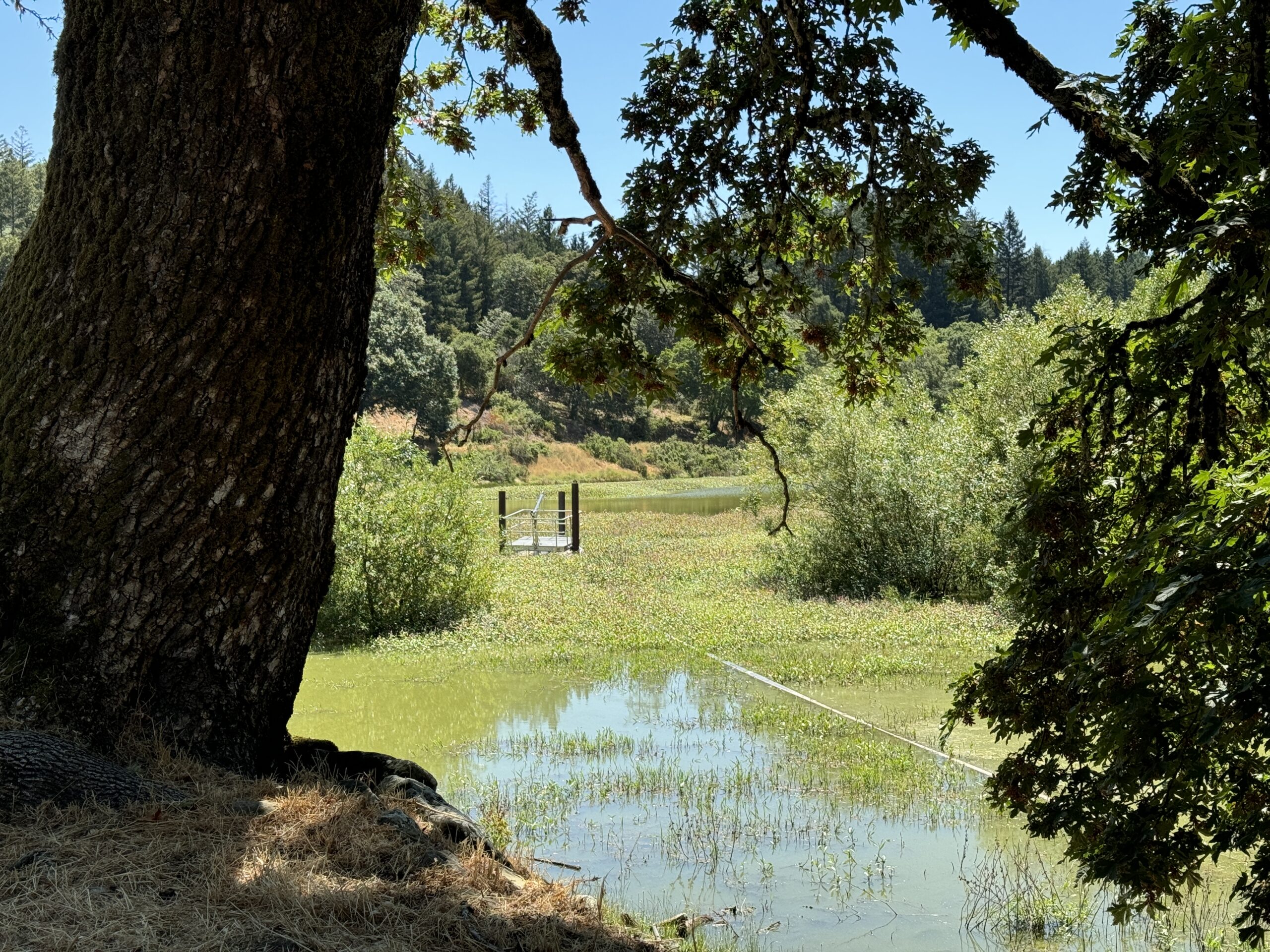
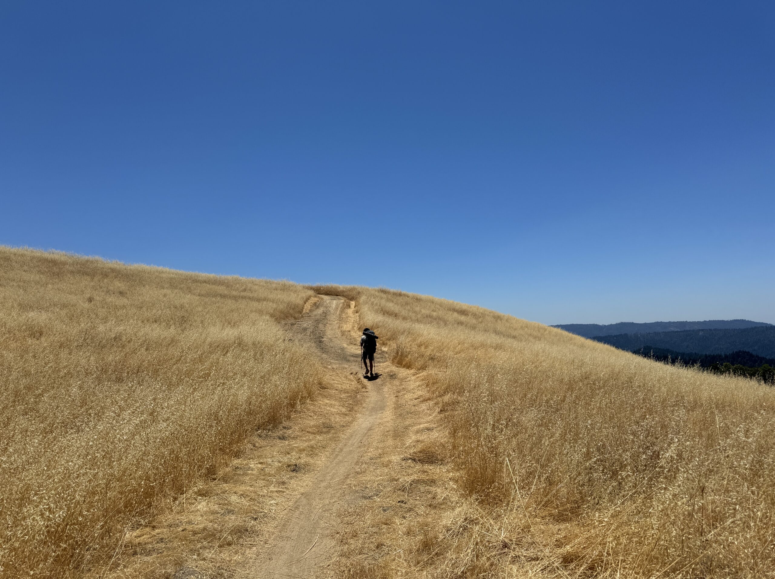
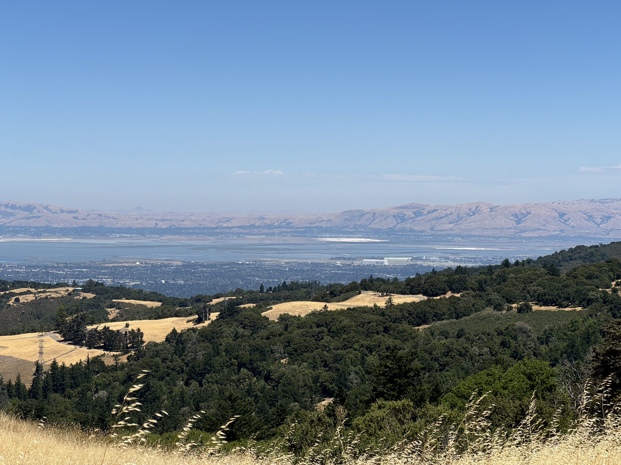
3 Days and 2 Nights Distance: 5.1 Miles Elevation Gain/Loss: 780 feet/810 feet Trail Map Russian Ridge is the northern end of several uninterrupted segments of the Ridge Trail which are in close proximity to a couple of the rare backpacking camps in the area. So I thought I would try to string them together into…Read more
Category: Bay Area Ridge Trail
section hiking the Bay Area Ridge Trail
Bay Area Ridge Trail
Over the years, while hiking, I’ve passed many signs letting me know I was following the route of the Bay Area Ridge Trail. I’ve always been fascinated by the concept of long distance trails like this one, but the thought of attempting circumnavigation through section hiking only recently occurred to me. I suppose I was…Read more
Purisima Creek Redwoods Open Space Preserve
A great beginning, 5.8 miles completed, 403.9 miles to go Distance: 5.8 Miles Elevation Gain/Loss 1,215 feet/1,290 feet Having 403 miles remaining of a 400 mile hike is hardly a cause for celebration. But getting started is a worthy event, and picking a starting point from so many choices took some time. After pouring over the…Read more
San Francisco Peninsula Watershed: Fifield-Cahill Trail
A Docent Lead Hike Distance: 12.8 Miles Elevation Gain/Loss 1,725 feet/1,490 feet Much of the ridge trail in the southern end of the peninsula passes through a dense forest of coast redwoods. Conversely, in the north, the Sweeney Hill section leading into Pacifica is dominated by coastal sagebrush and similar dense, low vegetation. The Fifield-Cahill trail sits…Read more
Sweeney Ridge
Hiking Through the Fog Distance: 3.2 Miles (7.1 miles total for the day) Elevation Gain/Loss: 785 feet/300 feet Sweeney Ridge Trail Map The official map of this section combines it with the segment just north, Skyline College to Pacifica. We decided to also combine them into a single hike. For this post I’ll just focus on…Read more
Skyline College to Pacifica via Milagra Ridge
Descent From Ridgeline to City Distance: 3.4 Miles (7.1 miles total for the day) Elevation Gain/Loss: 115 feet/670 feet We started the day at Sweeney Ridge to complete both sections as one hike. We spent much of the day in a comfortable descent down from the ridge line toward the ocean. By the time we…Read more
Mussel Rock to Stern Grove
A ridge trail with no ridge, and very little trail Distance: 8.6 miles (4.5 miles and 4.1 miles) Elevation Gain/Loss: 655 feet/565 feet I’m hate to say it, but the two ridge trail sections that make up this hike were both my least favorite so far. I was not expecting much from this primarily urban…Read more